Radar Meteorology Glossary
This glossary will be the main reference for radar products and problems and will give details on what the different products are and how they are used.
Browse the glossary using this index
Special | A | B | C | D | E | F | G | H | I | J | K | L | M | N | O | P | Q | R | S | T | U | V | W | X | Y | Z | ALL
E |
|---|
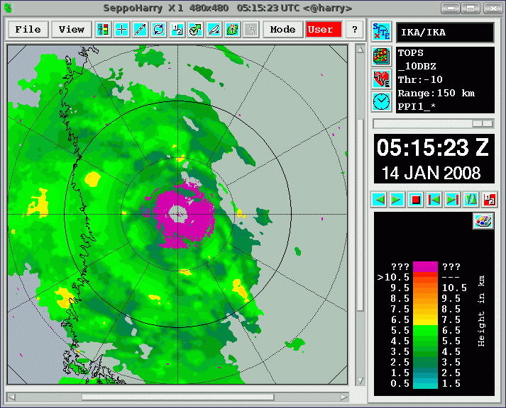
Echo base altitudeDescriptionThe echo base product provides for each point on the surface, an estimate of the height of the lowest elevation of the first echo return that is above a reflectivity threshold. ParametersProduct data quantity: altitudeImage size: number of pixels per row (# of columns) and per column (# of rows) Pixel size: horizontal and vertical extension of the pixel in km Reflectivity threshold: value in 0.1 dBZ Level slicing method: list of values in 0.1 km a.s.l. or formula parameters (see section 7 in WD21_99) Notes• In areas where precipitation reaches ground or lowest measurement bin, this product shows undefined values.• The quality of this product depends crucially on number of elevations in the polar volume. | ||
ElevationThe vertical pointing angle of the antenna; 0° is horizontal, 90° is vertical. | |
Equivalent Radar ReflectivityAKA Ze. The concentration of uniformly distributed small (diameter one sixteenth wavelength or less) water particles which would return the amount of power received. Typically expressed as: dBZ = 10 log Ze. | |
