Precip
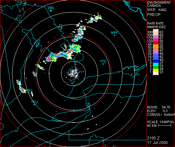
The PRECIP product is a two dimensional representation of the precipitation near the ground. It combines Doppler data close to the radar with conventional data at longer ranges. The Doppler data has the advantage of ground clutter suppression, but does not extend beyond 126km. Beyond Doppler range the lowest elevation angle of the conventional data must be used, but at that range ground clutter is not usually a significant problem. In addition, the conventional mode is slightly more sensitive than the Doppler mode, so using it at longer ranges this has a benefit. Close to the radar the PRECIP product is closely related to the LOG-Z product from lowest Doppler elevation. At longer ranges it is similar to the low altitude CAPPI, since at long ranges the latter is usually constructed entirely from the lowest conventional elevation angle.
Unlike the CAPPI the PRECIP product uses the data closest to the surface. By using the radar data closest to the ground, changes to the precipitation between the radar level and the surface, due to evaporation, advection, etc, are minimized
So the PRECIP product shows the lowest Doppler scan near the radar and the lowest conventional scan at longer ranges. The switch from Doppler data is usually performed at 120km, but this can be reconfigured if unusual circumstances prevail. In the absence of Doppler data, conventional data is presented alone. The user will note that the transition from Doppler to conventional data is not entirely smooth. There are several reasons for this:
- The Doppler and conventional data are not necessarily at the same elevation angle.
- Conventional and Doppler use different pulse lengths, so have different sensitivities (weak echoes present on one may be absent from the other).
- If ground clutter (AP) is present near the switching range, it should appear only on the Conventional portion of the image.
- There is a time difference between the two scans.