A Note About Colours
Radar is a visual tool. The amount of detail that the meteorologist is able to see, depends on their visual acuity and the colours assigned to the various levels in the radar data.
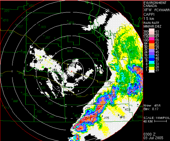
Original colour table.
Smooth shade changes with more detail
Colour shades grouped in pairs with high contrast between pairs
Neon colours
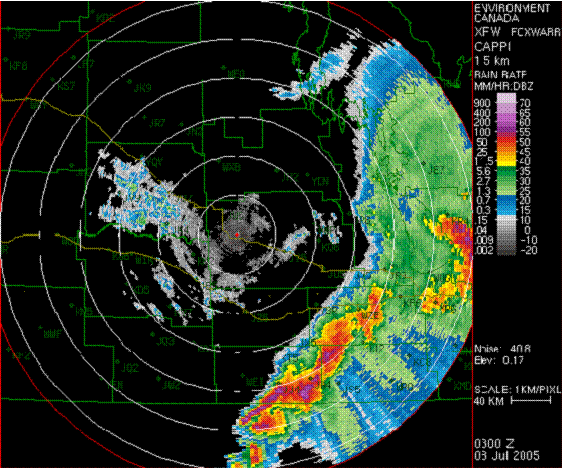
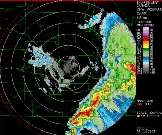
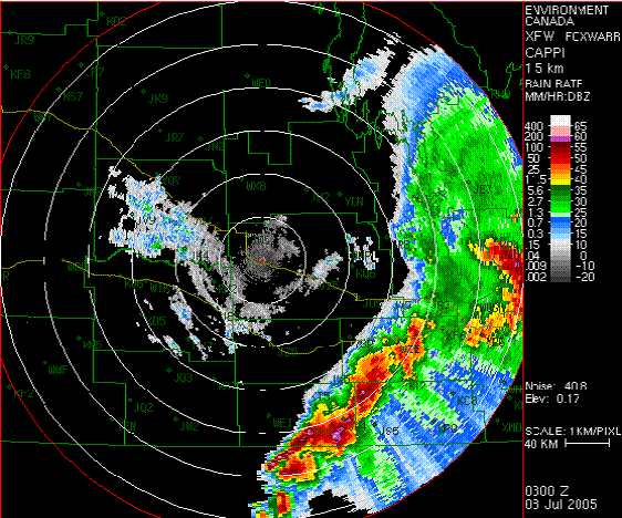
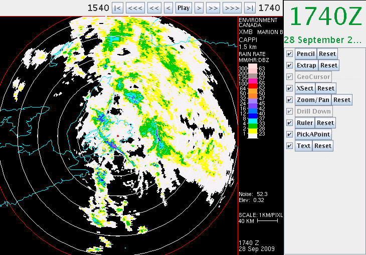
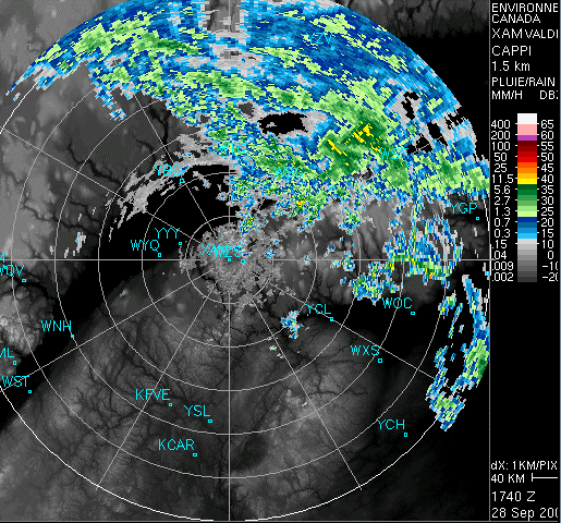
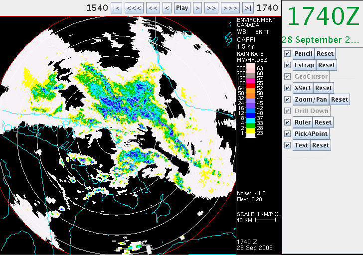
The last colour table was implemented in Prairie and Northern Region (PNR) in 2005, but there remains a huge disparity between the colour tables applied to URP in across the country. For example, the following 5 images are taken from URP servers in Atlantic Region (AR), Quebec Region (QR), Ontario Region (OR), Prairie and Northern Region (PNR), and Pacific and Yukon Region (PYR). As you can see, the colour tables applied to the 1.5 km CAPPI images are not the same.
1.5 km CAPPI from Atlantic Region
1.5 km CAPPI from Quebec Region
1.5 km CAPPI from Ontario Region
1.5 km CAPPI from Prairie and Northern Region.
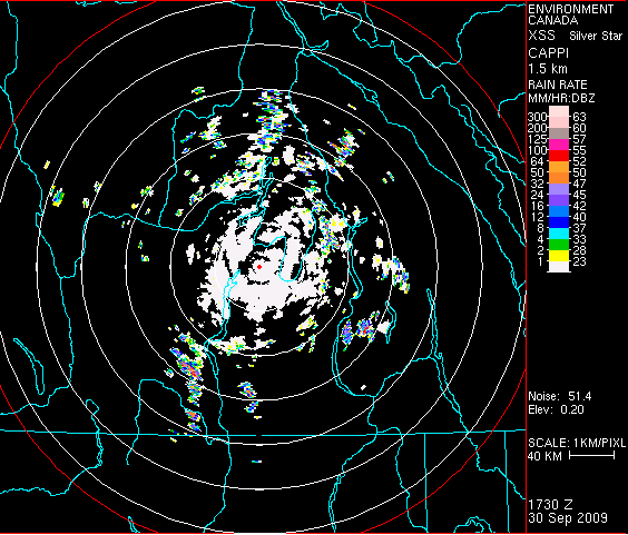
1.5 km CAPPI from the Silver Star, B.C. radar in Pacific and Yukon Region